Central Switzerland · every morning
The same mountains. Never the same sunrise.
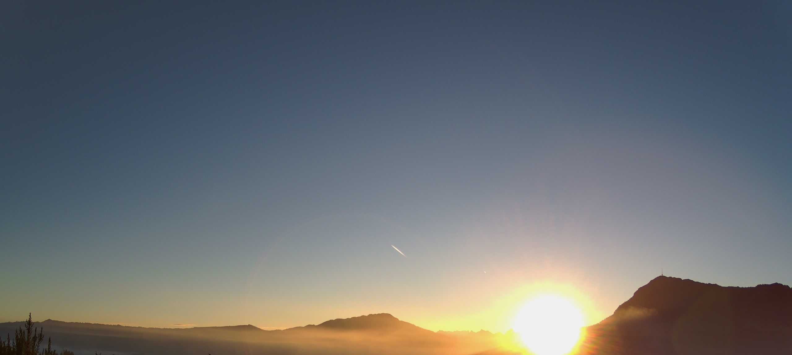
Peak A View films the sunrise over the Rigi, the Mythen and the Rossberg, day after day. This is the landscape behind the videos.
27 October 2026 · Photo: Peak A View
Loading the landscape…
The view in 3D
Which mountain is that?
Turn, tilt and zoom the landscape around Udligenswil church. Twelve places tell their story.
Twelve places
Then and now.
Why each place mattered in history, and why it matters today. Pick one to fly there.
-
01 Udligenswil church Where this map begins
Then
The village is first recorded in 1036. In August 1725 its priest banned the dancing that the bailiff had allowed for the church fair. Lucerne’s council deposed and banished him; the Pope ruled against the council, and the papal nuncio moved from Lucerne to Altdorf. Historians call the affair Lucerne’s first great early-modern conflict between church and state.
Now
The present church of St. Oswald, a many-sided building, went up in 1964–66. Around 2,500 people live in Udligenswil, a commuter village. The map starts here and looks east, to the Rossberg, the Mythen and the Rigi.
Sources
-
02 Rigi 1,797 m Where mountain tourism learned to climb
Then
Pilgrims came first: in the 18th century 12,000 to 15,000 a year walked up to the chapel at Rigi Klösterli. The first guesthouse on the summit opened in 1816. On 21 May 1871 Europe’s first mountain rack railway started running from Vitznau. In 1842 William Turner painted the mountain at sunrise: “The Blue Rigi”.
Now
Two cog railways and seven cable cars run on the mountain. Rigi Bahnen counted 910,000 guests in 2023 and says 70 percent of its guests arrive by public transport.
Sources
-
03 Gnipen 1,567 m The mountain that fell on Goldau
Then
On 2 September 1806, after persistent rain, a slab of rock slid off the Rossberg on a layer of weathered marl: 36 to 40 million cubic metres. It buried Goldau and Röthen, 102 houses and 220 barns, and killed 457 people. For the first time, every canton sent help.
Now
The scar is still plain to see. The Natur- und Tierpark Goldau has stood among the boulders since 1925, and the rockslide exhibition has been in its entrance building since 2024. Geologists treat the slide as a textbook case. Smaller rockfalls have followed.
Sources
-
04 Lake Lauerz The wave after the rockslide
Then
The rockslide of 1806 took about a seventh of the lake’s surface. The flood wave it set off destroyed large parts of Lauerz and, on the island of Schwanau, the castle keep, the hermitage and the chapel.
Now
At most 14 metres deep, it is one of Switzerland’s shallowest lakes and has the country’s widest belt of water lilies. The fen at its western end grew out of the rockslide. A ferry crosses to Schwanau, where the old hermitage is now an inn.
Sources
-
05 Wildspitz 1,580 m The roof of canton Zug
Then
The Rossberg ridge is made of pebble rock and marl laid down 25 to 28 million years ago and later tilted, 15 to 30 degrees, towards the valley. A rockfall destroyed the village of Röten in 1222. In 1954 fossil footprints of birds, turtles and rhinoceroses were found on the rock layers.
Now
At 1,580 metres the Wildspitz is the highest point of canton Zug. The ridge is on the federal inventory of landscapes of national importance; more than 30 orchid species have been recorded there.
Sources
-
06 Mythen 1,898 m Two limestone teeth above Schwyz
Then
Geologists call the Mythen a klippe: what is left of a sheet of rock after erosion removed everything around it. Their rock was laid down as sediment in the age of the dinosaurs, on a small continent that no longer exists, and now rests on flysch. At their foot lies Schwyz, the canton that gave Switzerland its name.
Now
A path has led to the top of the Grosser Mythen since 1864; more than 40,000 people climb it each year. The slopes are a federal wildlife reserve. In Schwyz, the Federal Charter of 1291 is on show at the Bundesbriefmuseum.
Sources
- University of Bern, CSI Alps: excursion guide Wylen, on the Mythen klippe (German, PDF)
- Historical Lexicon of Switzerland: Schweiz, on the name (German)
- Brunni-Alpthal: the Mythen path (German)
- Federal Office for the Environment: wildlife reserve no. 8, Mythen (German, PDF)
- Historical Lexicon of Switzerland: Bundesbriefmuseum (German)
-
07 Morgarten A battle, and what was made of it
Then
On 15 November 1315 the men of Schwyz ambushed the army of Duke Leopold of Habsburg at the upper end of Lake Ägeri and put it to flight after a short, bloody fight. That much is certain. The rocks and tree trunks came with later retellings. Weeks later the three forest cantons sealed a new alliance at Brunnen.
Now
A monument has stood by the lake since 1908 and marksmen have met for the Morgarten shoot since 1912. A commemoration is held every 15 November. Historians say what was later made of the battle matters more than the battle itself.
Sources
-
08 Hohle Gasse William Tell’s sunken lane
Then
In the White Book of Sarnen, written around 1470, William Tell shoots the Habsburg bailiff Gessler in this sunken lane near Küssnacht. Tell is a legend; the lane is real. By the 1930s it was a motor road. In 1934 Swiss schoolchildren raised the money for a bypass, and the lane was rebuilt to look old. It was inaugurated in 1937.
Now
The lane is held in trust for the schoolchildren of Switzerland and was restored in 2004–05. Close by, a chapel stands where Queen Astrid of Belgium died in a car accident on 29 August 1935. A memorial service is held there every year.
Sources
-
09 Lake Lucerne When the road was water
Then
Until the 19th century the terrain made roads along the shore almost impossible, so the lake was the road. Goods and travellers bound for the Gotthard crossed it by boat between Lucerne and Flüelen. Steamships came in 1837. The German name, Vierwaldstättersee, the lake of the four forest cantons, took hold in the 16th century.
Now
The lake covers 114 square kilometres and is up to 214 metres deep. Five paddle steamers built between 1901 and 1928 still sail, and canton Schwyz rates the water as good again.
Sources
-
10 Lake Zug The town that slid into the lake
Then
Zug was built on an unstable shore. On 4 March 1435 its lakeside lane sank into the water; the canton’s chronicle counts 60 dead. On 5 July 1887, during work on a new quay, the shore gave way again: 35 houses went under, eleven people died and 650 lost their homes. Building on the shore was banned.
Now
The lake covers 38 square kilometres and is up to 197 metres deep. Canton Zug calls it the Swiss lake most burdened with nutrients: phosphorus stands at more than twice the legal target, and the canton does not expect the lake to recover before 2070.
Sources
- Historical Lexicon of Switzerland: Zugersee (German)
- Historical Lexicon of Switzerland: Zug (German)
- Canton Zug: surveying the “Katastrophenbucht” (2021, German)
- Canton Zug: key dates of Zug and Swiss history (German, PDF)
- Canton Zug: water quality of Lake Zug (German)
- Canton Schwyz: media release on phosphorus in Lake Zug (2024, German)
-
11 Pilatus 2,128 m The forbidden mountain
Then
Legend put the restless ghost of Pontius Pilate in a small lake on the mountain, and for a long time climbing the mountain was forbidden. In 1387 six clergymen were locked up for planning the trip. In 1585 the parish priest of Lucerne went up with a band of citizens and threw boulders into the lake. It was drained in 1594.
Now
A cogwheel railway has climbed from Alpnachstad since 1889. With a gradient of up to 48 percent it is, says its operator, the steepest in the world. The former lake is now a raised bog of national importance.
Sources
-
12 Glärnisch 2,904 m Vreneli’s garden, on the far horizon
Then
The legend tells of Vreneli, a headstrong girl who wanted to plant a garden at the very top of the Glärnisch. To keep the snow off she put a copper cauldron on her head. The wet, heavy snow pressed her to the ground and buried her. The summit snowfield is called Vrenelisgärtli, Vreneli’s little garden.
Now
In the summer of 2003 the garden was free of snow for the first time in its recent history. The glacier on the massif, the Glärnischfirn, shrank from 2.10 square kilometres in 1973 to 1.18 in 2022, and its tongue has retreated 652 metres since 1923.
Sources
Sea of fog
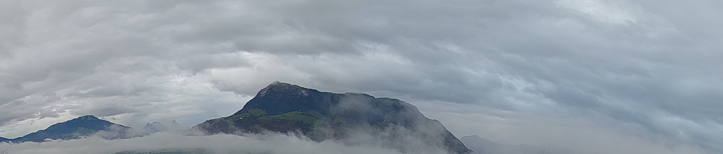
Why the valley disappears.
In the cool season, cold air settles in the lowlands under lighter, warmer air. Below that lid it is cold and grey; above it, clear. The top of the fog usually lies at 600 to 800 metres, and above 1,000 when the north-east wind blows. The Rigi, at 1,797 metres, stays above it.
Source: MeteoSwiss, fog in autumn (German) · Photo: 10 November 2026
From the camera
No two mornings alike.
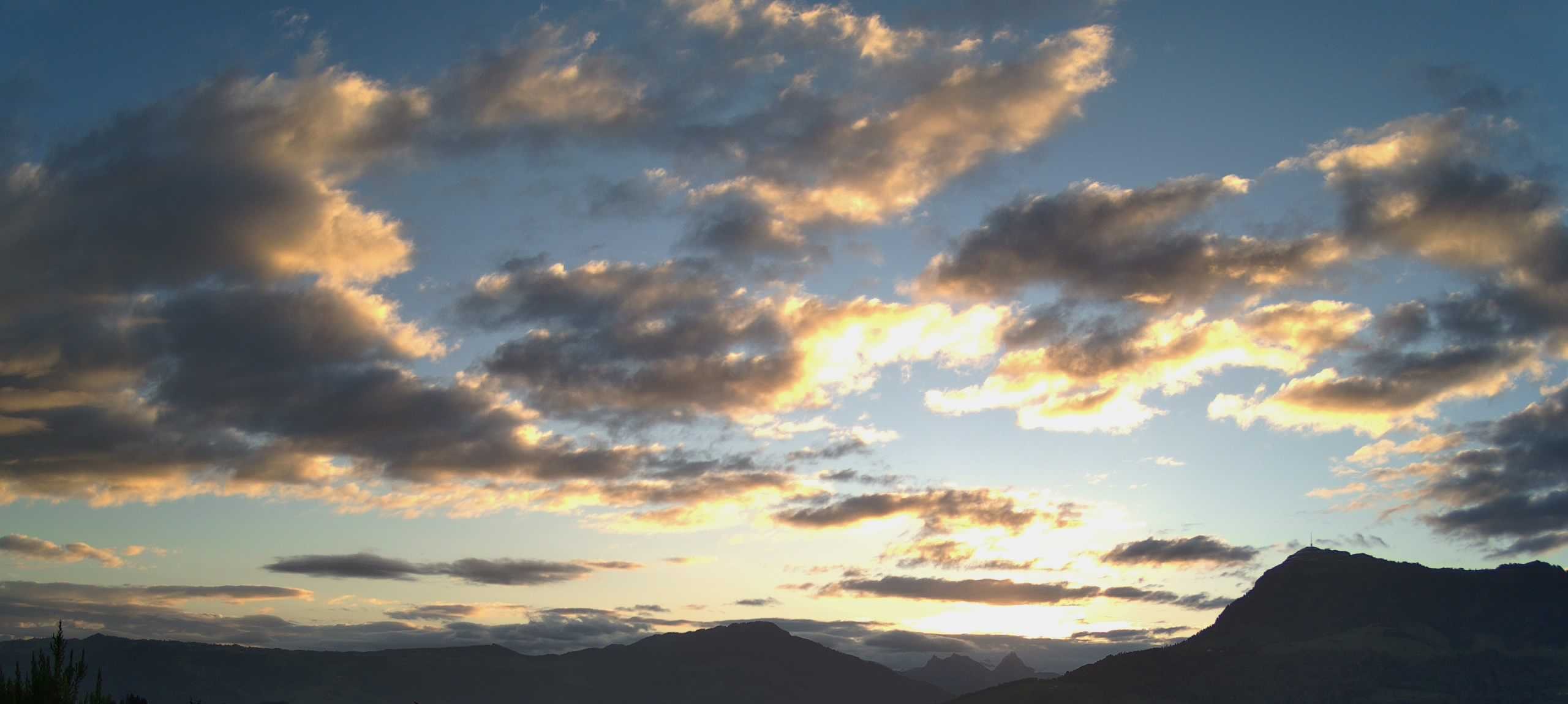
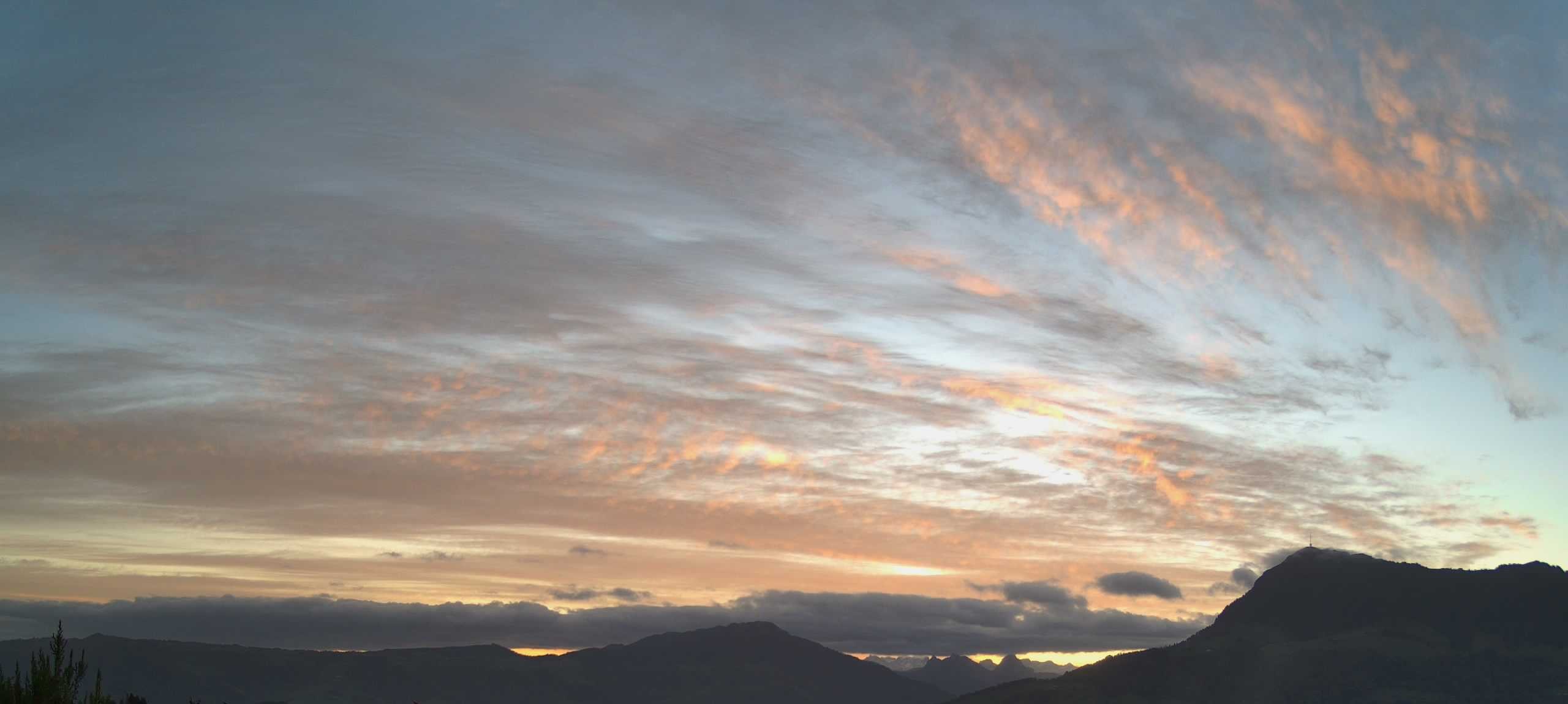
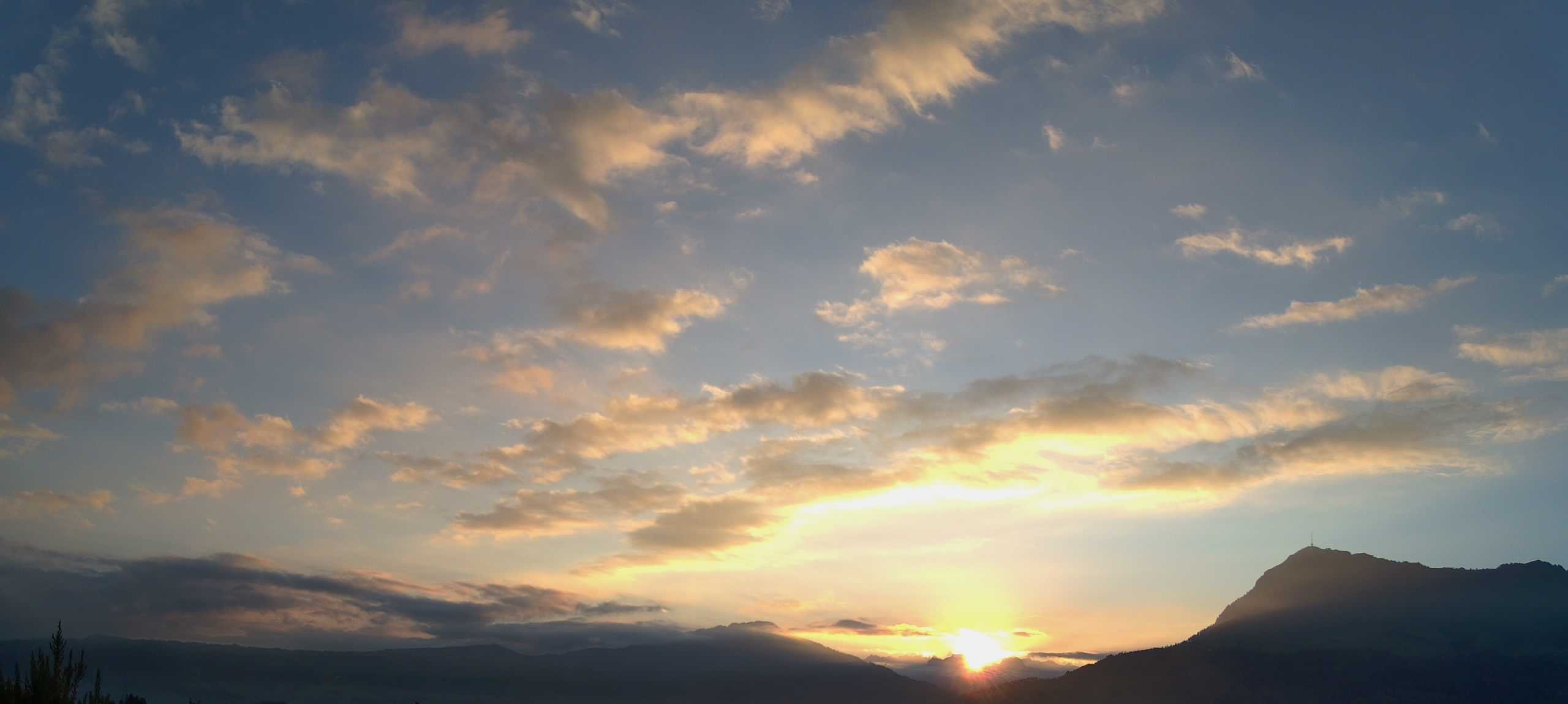
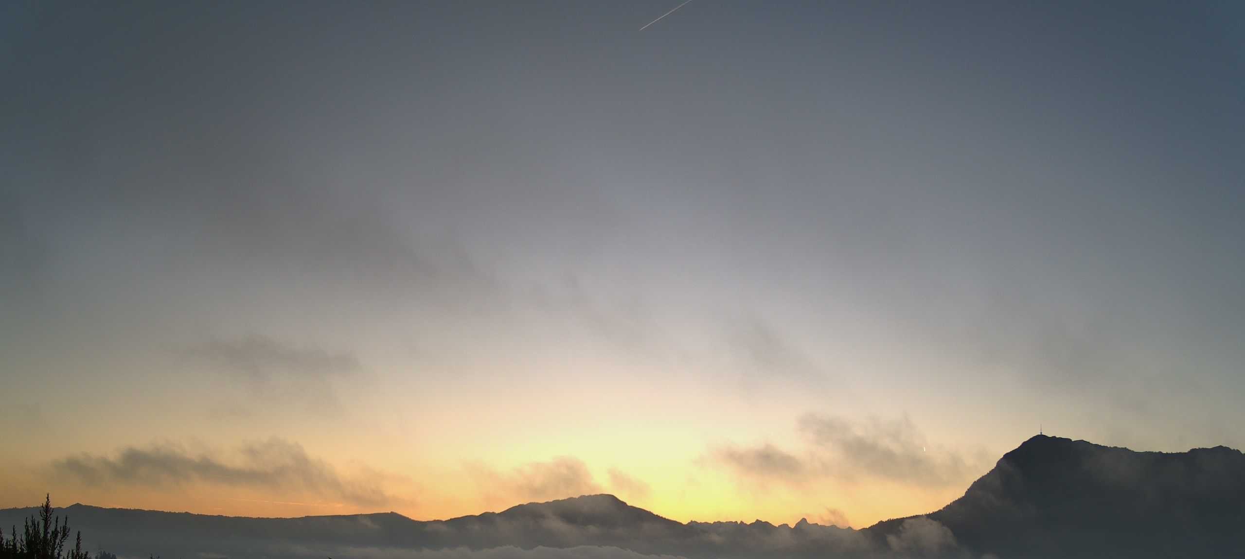
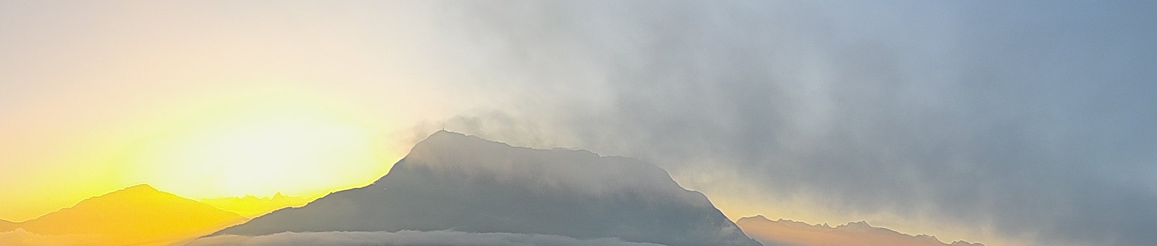
Photos: Peak A View
How the view is filmed
One camera. Every sunrise.
A panorama camera with a zoom lens records the sunrise each morning. Software finds the moments worth a closer look, such as alpenglow on a summit or a sea of fog, and cuts the videos automatically. Max looks at each one and approves it before it goes out.
-
Daily video
The whole sunrise as a time-lapse.
-
Short
About 30 seconds, upright, made for the phone.
-
Weekly film
The best moments of the week, out on Monday evening.